
The nine areas compared
| Area | Useful length of stay | Access from Lima | Altitude of the nights | What it brings |
|---|---|---|---|---|
| Lima and around | 2 to 5 days | On the spot, then by road | Sea level; up to 4,000 m for Marcahuasi | Museums, food, Caral and Pachacámac |
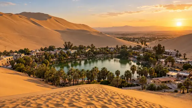
| South coast | 3 to 7 days | By road (bus) | From sea level to about 500 m | Marine wildlife, desert, the Nazca Lines |
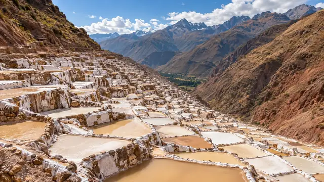
| Cusco and the Sacred Valley | 5 to 7 days | By plane (about 1 hr 25 min) | 2,800 to 3,400 m | Inca heritage, Machu Picchu, Andean villages |
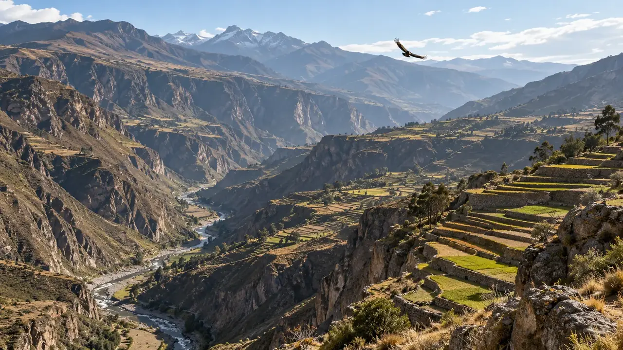
| Arequipa and the far south | 5 to 8 days | By plane (about 1 hr 30 min) or by road from the south coast | 2,300 to 3,800 m | Colonial city, the Colca, Lake Titicaca |
| North coast | 7 to 14 days | By plane to Trujillo, Chiclayo, Piura, Talara or Tumbes | Sea level | Moche and Chimú civilisations, beaches, surfing |
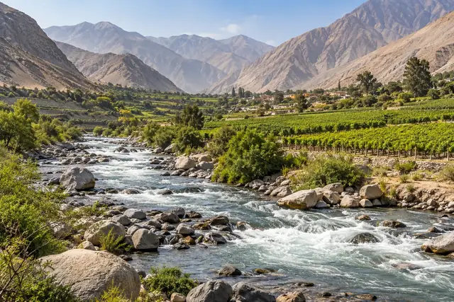
| Northern and central Andes | 7 to 14 days per section | By road or plane depending on the section | 2,300 to 3,700 m | High mountains, Chachapoyas, craft towns |
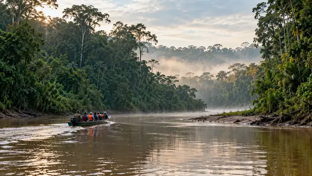
| Northern Amazon | 5 to 8 days | By plane to Tarapoto or Iquitos | 100 to 900 m | The river, flooded forest, Tarapoto and its villages |
| Southern Amazon | 4 to 6 days (a week for Manu) | By plane to Puerto Maldonado | Below 300 m | Lakes, macaw collpas, Manu |
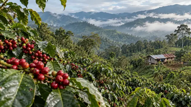
| Selva Central | 3 to 7 days per section | By road or plane (Pucallpa) | 150 to 1,800 m | Coffee, cloud forests, Shipibo kené |
The lengths are editorial suggestions; access and timetables need checking for your dates.
A full guide or a simple section?
Some destinations have their own guide: Lima, Cusco, Machu Picchu, Arequipa, Trujillo, Chiclayo and Lambayeque, Huaraz, Chachapoyas, Tarapoto and Iquitos. The other places are presented as sections of their regional page, with what you need to decide whether they are worth the detour. A name appearing in the index does not mean a full guide exists: the listing says so.
Three ways in
A first trip to Peru (two to three weeks). Lima, the south coast or Arequipa, then Cusco, the Sacred Valley and Machu Picchu, climbing gradually. If you have time, Lake Titicaca between Arequipa and Cusco, or a few nights in the southern Amazon. See A first trip to Peru in 15 days and The southern classic.
Returning to Peru. The north, for its lesser-known civilisations and its beaches; Huaraz for the mountains; Chachapoyas for the cloud forests; the central Andes for crafts and festivals. See The north: culture and beaches and the suggested five-day pace in Chachapoyas.
A specific interest. Food (Peru for food lovers), hiking (Huaraz and the mountains), surfing (Northern surf), the rainforest (Iquitos and the rainforest): start from that interest, then choose one or two regions that really serve it.
The real distances
Peru covers about 1.3 million km²: more than twice the size of France. The regions are linked by plane from Lima, much more than by road. Road distances from Lima: Huaraz 402 km; Arequipa 1,002 km; Cusco 1,101 km; Chachapoyas 1,121 km; Tumbes 1,251 km; Puno 1,275 km; Puerto Maldonado 1,685 km; no road to Iquitos. On these roads, you have to cross the Andes, often over passes above 4,000 metres: a Lima–Cusco journey by road takes a day and a night.
Two practical consequences:
- Regions that are neighbours on the map are not necessarily linked to each other. Iquitos has no road; Tarapoto and Iquitos are linked by plane, by a direct flight published by Star Perú or via Lima; Chachapoyas and Huaraz are in the same “northern Andes”, but far from each other by road.
- Count each major transfer as at least half a day, even by plane: getting to the airport, waiting, the flight, arrival.
When to go, region by region
| Region | Driest or most pleasant season | Good to know |
|---|---|---|
| Andes (Cusco, Arequipa, Huaraz, Puno) | From April–May to September, the southern winter: clear skies, cold nights | Rain from November to March; the Machu Picchu train switches to bus-and-train from January to April |
| Central and south coast (Lima, Paracas, Nazca) | From December to April, the southern summer, for the sun | From June to September, grey skies and drizzle in Lima (the garúa); it almost never rains |
| North coast (Máncora, Tumbes) | All year round; warmer water from December to May | Whale season from July to October |
| Amazon | It rains all year round; more from November to April | Pacaya Samiria recommended from May to September, the Alto Mayo from May to November |
So there is no single “right season” for the whole country: a trip in July is ideal in the Andes, grey in Lima; a trip in February is sunny on the coast, rainy in Cusco.
What each region brings that is different
- Lima and around: the best introduction to the country, through its museums and its food, and the oldest cities in the Americas a day’s drive away.
- The south coast: the desert that meets the ocean, teeming marine wildlife, and one of archaeology’s great enigmas.
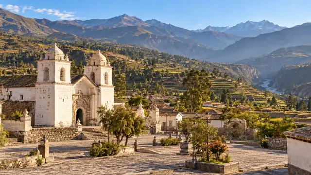
- Cusco and the Sacred Valley: the heart of the Inca empire, still inhabited.
- Arequipa and the far south: a city of volcanic stone, a deep canyon, the largest lake in the Andes and its inhabited islands.
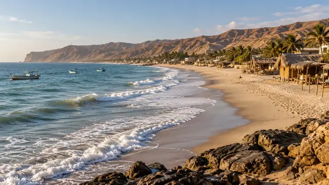
- The north coast: civilisations older than the Incas, a very rich regional cuisine, and warm beaches.
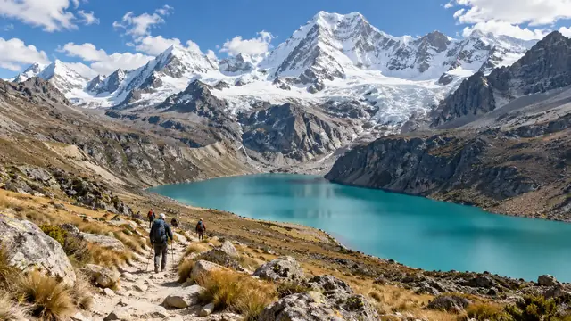
- The northern and central Andes: high mountains, cloud forests and little-visited craft towns.
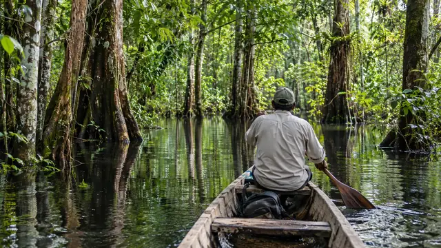
- The northern Amazon: the river and the flooded forest around Iquitos, a gentler forest around Tarapoto.
- The southern Amazon: a forest that is easy to reach from Cusco, its lakes and its macaws.
- The Selva Central: the transition between the Andes and the forest, its coffee plants and its Indigenous peoples.
Areas for travelling, not an administrative map
The nine areas in this guide group together places that naturally go together on a trip. They do not follow Peru’s official division into regions. Some places can be reached by several routes: Chachapoyas, for example, belongs to the northern Andes, but also combines with Tarapoto in the northern Amazon. Its listing remains single; it is simply flagged in both areas. The department of Amazonas should not be confused with the lowlands of Loreto: Chachapoyas is a world of Andes and cloud forests, not a second Iquitos.
How to read a listing
At the top of each guide: why come, how long we suggest, where to place the stop, who it suits, the main constraint and the date the sources were consulted. Then the in-depth content, the neighbouring pages and the sources. At the bottom, each page lists the dated data it cites (prices, opening hours, altitudes, distances), with their source and the date on which we read it.
Sources and dates
Values cited
Prices, opening hours and rules change: every piece of information cited links to its source, with the date it was consulted.
Figures and rules cited
- about 1 hr 25 min: Length of a direct Lima–Cusco flight (Jorge Chávez (Lima) and Velasco Astete (Cusco) airports) . Direct flights operated by LATAM, Sky and JetSMART among others.
Press or reseller: KAYAK, Lima–Cusco flights (average length of direct flights) (new tab) · consulted on 1 October 2026 - about 1 hr 30 min: Length of a direct Lima–Arequipa flight (Jorge Chávez (Lima) and Rodríguez Ballón (Arequipa) airports) . Direct flights operated by LATAM, Sky and JetSMART among others.
Press or reseller: KAYAK, Lima–Arequipa flights (average length of direct flights) (new tab) · consulted on 1 October 2026 - Huaraz 402 km; Arequipa 1,002 km; Cusco 1,101 km; Chachapoyas 1,121 km; Tumbes 1,251 km; Puno 1,275 km; Puerto Maldonado 1,685 km; no road to Iquitos: Road distances from Lima to the main regions (Peru) . Centre-to-centre distances by the shortest calculated route; Andean roads are driven slowly.
Press or reseller: Road routes calculated on OpenStreetMap (FOSSGIS routing server) (new tab) · consulted on 2 October 2026
How we choose and date our information: our method. Has something changed? Let us know.